The Walking in Buckinghamshire website https://www.walkinginengland.co.uk/bucks has hundreds of FREE walks to download and print plus details of all the walking clubs in the country and lots more information.
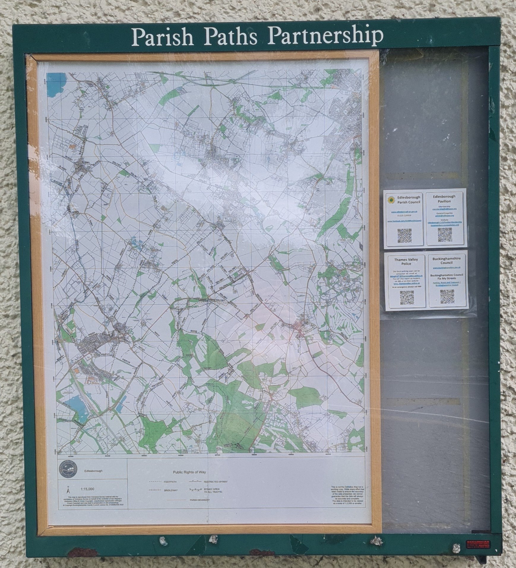
There are three Rights of Way maps in the Parish of Edlesborough.
The maps are located by Edlesborough Memorial Hall, Dagnall Village Hall and Northall Village Hall.

Each right of way has a number, for example EDL/3/2. This number is essential when reporting an issue on a right of way.
Edlesborough Parish Council is responsible for the ground clearance on some of the rights of way in the parish.
The landowners are responsible for the hedges, trees, gate, fences, etc.
Buckinghamshire Council have a Rights of Way team who are responsible for ensuring rights of way remain open and accessible and will liaise with landowners as required. They have a dedicated online reporting tool which is different to FixMyStreet (used for roads and pavements).
If there is an issue with a right of way please visit
Report an issue with a public footpath, bridleway or byway | Buckinghamshire Council
Please note you will need to create an account to make a report.
Here is a brief guide as to what to include when making a report. In general, the more information you can provide the better.
Fallen trees
- Which side of the right of way has the tree fallen from? Please describe using north, east, south and west if possible, rather than left or right as left or right can change based on which way you approach the obstruction from.
- Is the tree completely on the ground or hung up on another tree/ fence?
- Can people easily get round the tree?
Overgrown hedges/overhanging trees
- When reporting overgrowth please specify whether this is hedge growth from the sides or overhanging trees or whether it is vegetation growing from the surface of the path.
- If it is overgrown hedges/ overhanging trees, please specify which side of the right of way is the issue.
- Please give location references to indicate the length/extent of the issue, this could be visual references, coordinates or grid references.
- What is the approximate width remaining along the path?
- Is the path fenced in? If so, is this with barbed or electric fencing?
Surface vegetation
- As above, please specify that this is surface growth, such as nettles, brambles, etc, that grows from the surface of the path, rather than from the sides, like a hedge or treeline.
- Is the path fenced in? If so, is this with barbed or electric fencing?
Damaged gates and stile
- Please specify what is wrong with the stile, for example, missing step, wobbly step, wobbly fence, etc.
- Please specify exactly what is wrong with the gate and whether this obstructs access. For example, if the gate has no latch, this doesn’t affect access but could be an issue for livestock control.
Damaged bridges
- Please specify the part of the bridge that is damaged and how it is damaged.
Where possible please upload photos of the issue.
For more information about Reporting Issues with Rights of Way please see this guide Rights of Way Reporting Tool Guide

